



0°Latitude Academy: Where Young Talent Learn from Data, Supply Chains, and the Field
Understanding sustainability challenges takes more than reading data.
Satellite imagery can show where land-cover change is happening. Maps reveal patterns across landscapes. Supply-chain data helps trace where commodities come from. But to understand what those signals actually mean, they need context from the field.
This is where 0°Latitude Academy comes in.
Developed by Earthqualizer and Inovasi Digital, the four-month programme gives young talent the opportunity to learn across data, technology, sustainability, supply chains, and real-world environmental and social issues.
Rather than treating GIS, remote sensing, AI, traceability, and risk analysis as separate skills, participants learn how they connect, and how they can be applied to real situations.
Learning Through Different Perspectives
For its first batch in 2026, 0°Latitude selected ten young participants with different educational backgrounds, technical capabilities, and personal experiences.
The programme particularly welcomed young Indonesians with connections to rural landscapes, forest areas, smallholder communities, and other contexts relevant to sustainability challenges.
Selection went beyond academic performance. Curiosity, resilience, willingness to learn, and commitment to completing the programme were equally important.
Four Months, One Learning Journey
Starting in July 2026, the programme moves progressively from learning the fundamentals to applying them through real work.

Month 1 — Foundation
Participants are introduced to Earthqualizer and Inovasi Digital, including the organisations’ history, values, areas of work, and the broader sustainability and environmental issues connected to their work.
Month 2 — Experience
Learning expands into satellite imagery, machine learning, traceability, and spatial analysis, followed by field exposure across different landscapes in Borneo.
Month 3 — Project
Participants begin contributing to real projects alongside mentors, working on areas such as deforestation monitoring, risk analysis, traceability, data processing, and digital products.
Month 4 — Delivery
Participants complete their outputs, present their work, and reflect on how their skills can be applied in practice.
The program may also create opportunities for participants whose performance and interests are aligned to continue contributing with Earthqualizer or Inovasi Digital.
The four-month journey therefore resembles a professional workflow more than a conventional training program:
onboarding → learning → practice → field exposure → project work → mentoring → delivery.
From Tools to Capabilities
Throughout the programme, participants are exposed to several interconnected areas of work.
They learn how GIS, spatial analysis, remote sensing, and earth observation can be used to understand landscapes and detect changes over time, while traceability and supply-chain analysis help them see how commodities are connected to production sources, actors, and different stages of the supply chain.
The programme also introduces AI, machine learning, environmental and social risk analysis, and deforestation monitoring, showing how different forms of data can be combined to identify issues that may require closer attention.
They learn not only how to analyse information, but also how to turn it into practical outputs, from maps and visualisations to dashboards and digital tools that support informed decision-making.

When Data Meets the Field
A major part of 0°Latitude happens beyond the screen.
During field activities, participants explored land-cover change, forest management, local social conditions, Indigenous traditions, social conflict, and the consistency of information collected on the ground.
They engaged with local communities and local government, conducted field mapping, and compared what they encountered on the ground with what appeared in datasets and satellite imagery.
The process moves in both directions:
data → field investigation → verification → context → analysis
It helps participants understand that information becomes much more useful when different pieces of evidence are connected.

Learning Alongside Practitioners
Learning takes place across Inovasi Digital’s Pontianak and Bogor offices, where participants work closely with mentors from Earthqualizer and Inovasi Digital.
Through real assignments, discussions, work reviews, and technical problem-solving, participants learn how professional analytical work is approached in practice.
Instead of simply being given answers, they are encouraged to test their thinking, receive feedback, and improve their work.
This learning-by-doing approach is especially important in areas such as GIS, remote sensing, traceability, risk analysis, and sustainability, where capability develops through hands-on experience, feedback, and exposure to real challenges.

Seeing the Bigger Picture
The programme also connects technical learning with a wider industry context.
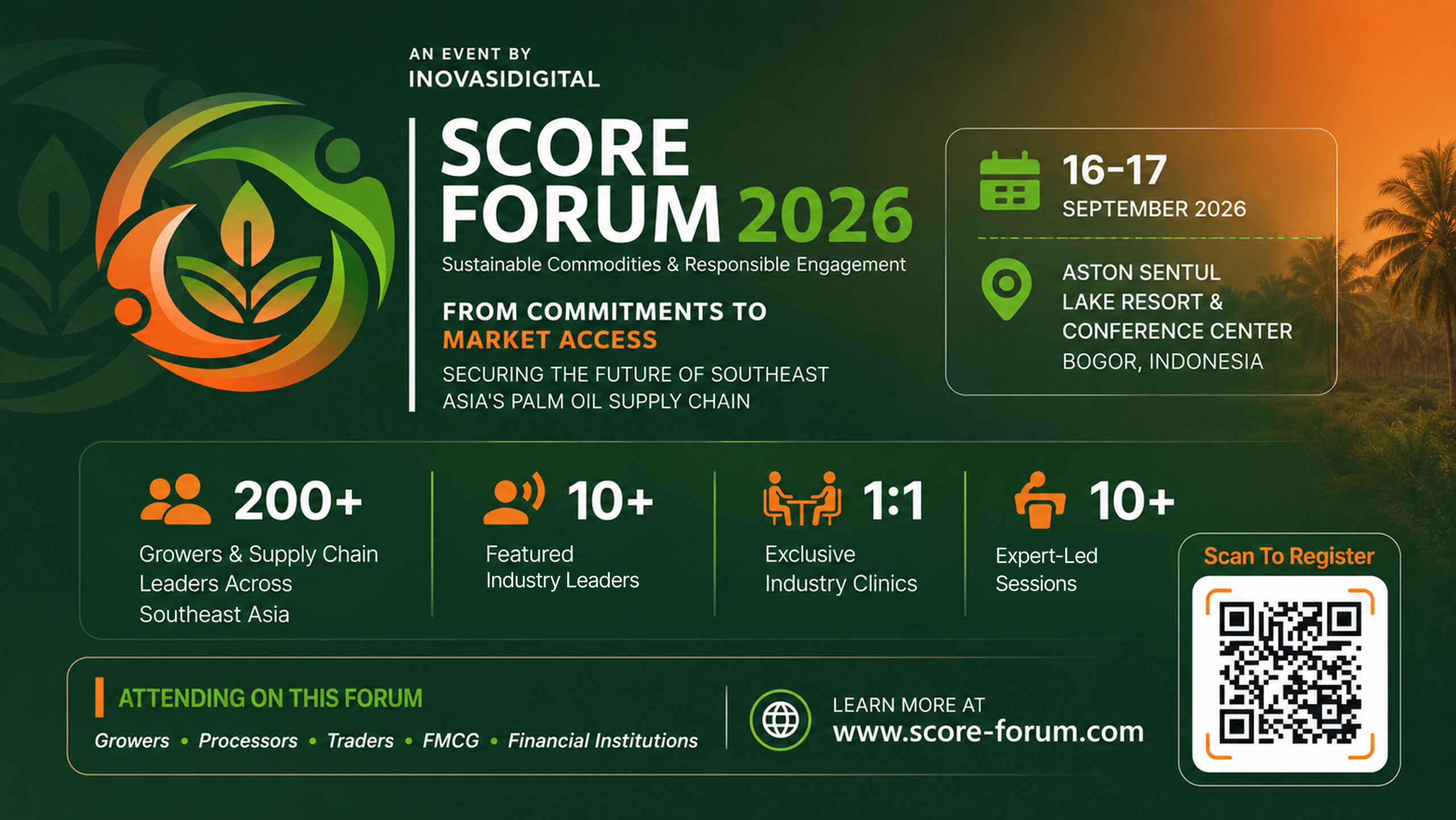
At the Sustainable Commodities and Responsible Engagement (SCORE) Forum 2026, participants gained exposure to discussions on regulation, traceability, market access, supplier engagement, smallholder inclusion, and other priorities shaping the palm oil sector.
This gave them a different perspective on the issues they had encountered through data and fieldwork, showing how technical evidence connects with business decisions, policy considerations, and industry collaboration.
Several participants also supported the Forum’s on-site operations, gaining practical experience of how a multi-stakeholder industry event is organised and delivered.

What Stays With Participants
After moving through technical learning, field exposure, mentoring, project work, and industry discussions, participants begin to see sustainability challenges from a wider perspective.
Through the different stages of 0°Latitude, they learn that a map, satellite image, or supply-chain record is rarely the full story. Understanding what the information means requires asking questions, checking assumptions, comparing different sources, and considering what is happening on the ground.
They also gain a broader view of how technical work connects with professional workflows and wider industry discussions, from analysing data and verifying findings to understanding how those insights can inform business priorities, collaboration, and market readiness.
Ultimately, 0°Latitude is designed to shape not only what participants know, but how they make sense of what they see. A map, a dataset, or a satellite image can reveal a signal, but understanding what that signal means requires context, curiosity, and judgement. Learning to look beyond the obvious, question the information in front of them, and connect it with real-world realities is the kind of capability that can stay with them long after the programme ends.
Have Questions? We're listening - Contact Us!
CONTACT US
